
Give Back to Your Favorite Trail
Home
Border Route Trail Association
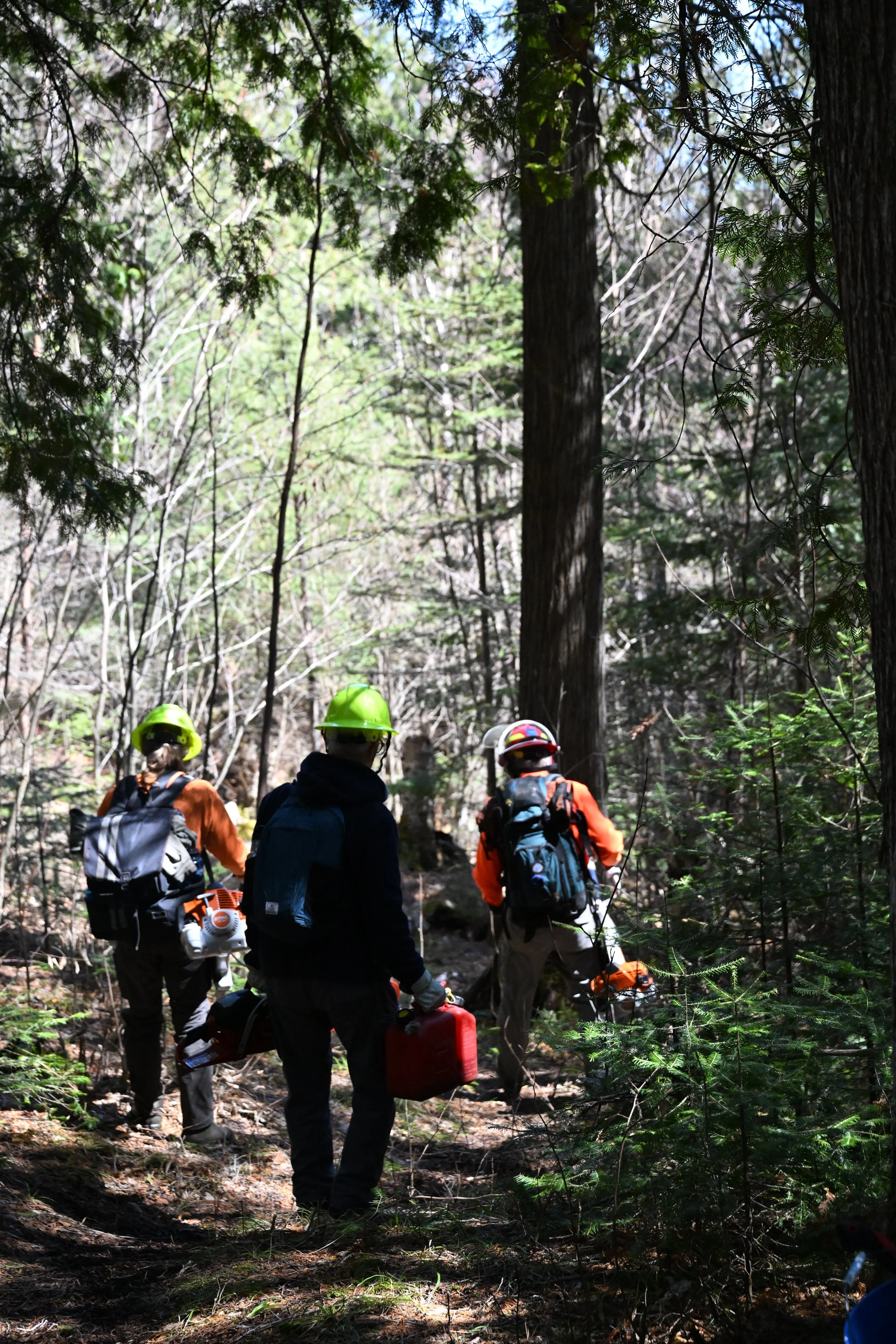
The Border Route Trail Association (BRTA) coordinates the maintenance of the Border Route Trail (BRT) and other public trails in northern Minnesota. The Border Route Trail is a 65-mile long hiking trail that crosses the Boundary Waters Canoe Area Wilderness (BWCAW) in the far northeast corner of Minnesota (Arrowhead) and follows the international border between Minnesota and Ontario, Canada. It was the first long-distance, wilderness backpacking and hiking trail in Minnesota planned and constructed by volunteers.
All header photos on our website are courtesy of John Keefover.

Make a donation.
We are a charitable organization under section 501(c)(3) of the tax code. As such, all donations and contributions to the Border Route Trail Association are tax deductible.
Please see the latest BRTA Newsletter
Clink the link below for our first ever Trail Tales Story and more.